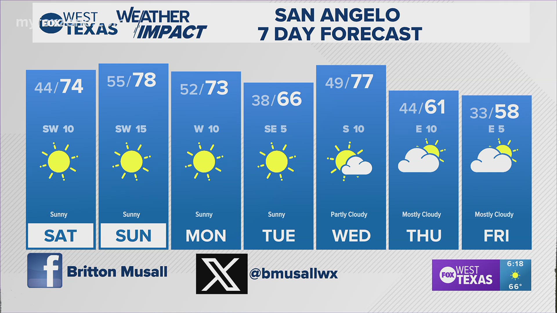
SAN ANGELO, Texas — As clouds dissipate late Wednesday morning, more sunshine will allow temperatures to climb to near 90 degrees. With humidity already in place, the heat will cause the atmosphere to destabilize.
Along with an unstable atmosphere, a dryline will move eastward from far West Texas. As it does so, strong to severe thunderstorms will develop along this dryline in the mid-afternoon hours Wednesday.

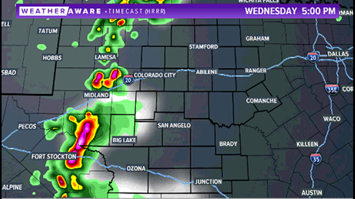
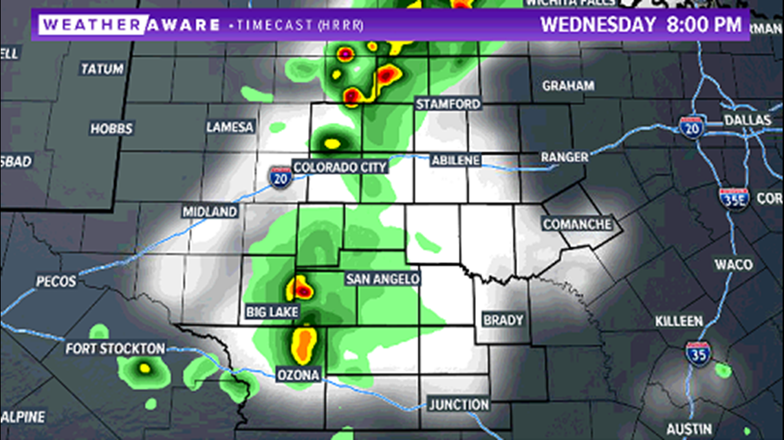
All modes of severe weather are possible, including the chance of tornadoes, as the storms initially develop and are discrete. As they move eastward, they will form into a line, and slowly weaken.

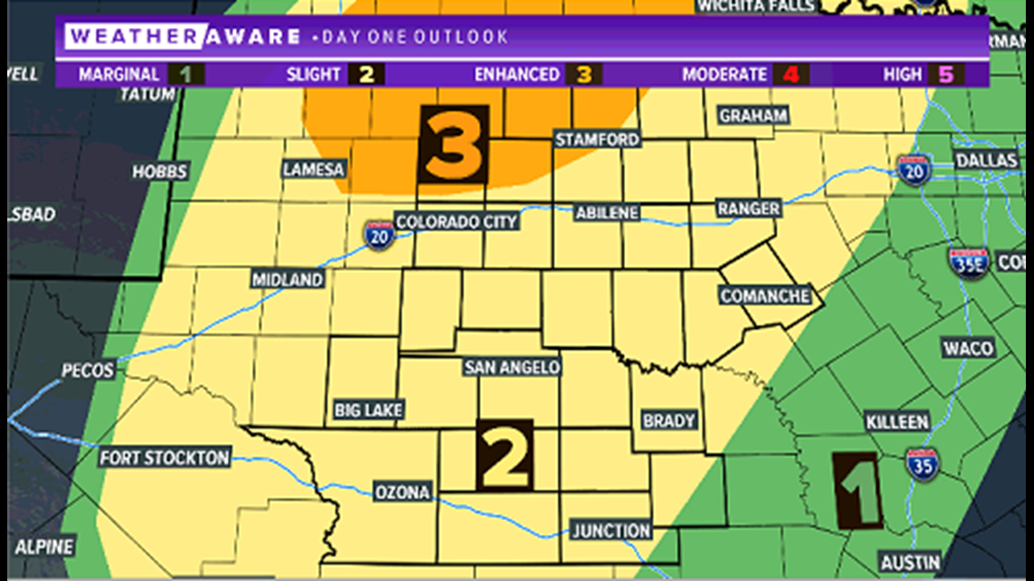
A slight risk of severe weather (level two of five) remains in effect for much of West Texas. An enhanced risk (level three of five) is issued north of Interstate 20 and up towards the Red River, where the greatest risk of severe weather exists.

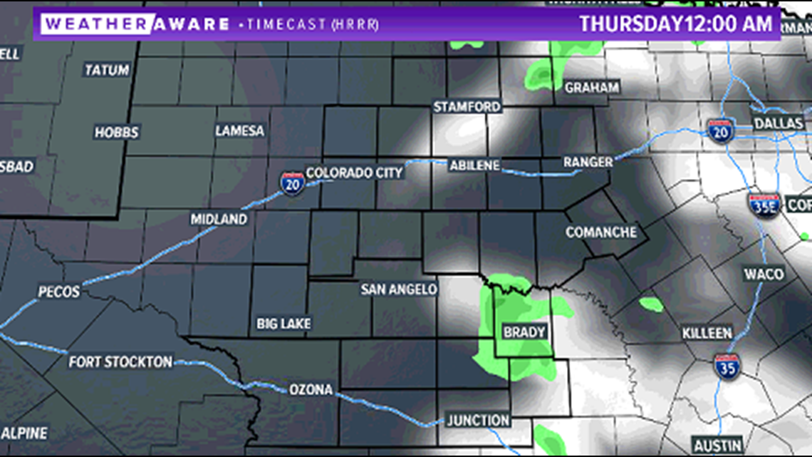
By midnight, storms will die out and skies will turn partly cloudy overnight.

Stay with FOX West Texas for the latest information. Updates all day long on our FOX West Texas Facebook page.


