SAN ANGELO, Texas — Angelo State University is presenting a prominent traveling exhibit of historical Texas maps starting Tuesday, Nov. 30, in the ASU Mayer Museum, 2501 W. Avenue N.
"Going to Texas: Five Centuries of Maps," will be open for free public viewing from 10 a.m. to 5 p.m. Tuesday through Saturday through March 19, 2022.
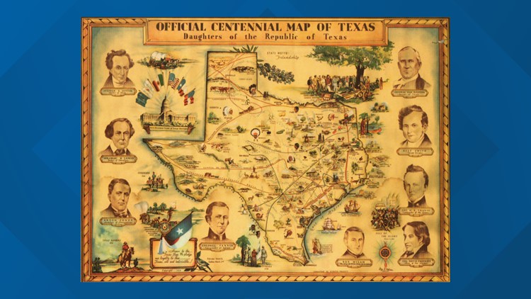
The exhibit features a selection of historical maps from the Yana and Marty Davis Map Collection at the Museum of the Big Bend in Alpine. All of the maps are original, and they range from 16th-century maps of New Spain to the early settlement of Texas, the republic and statehood, and into the 21st century. As such, the exhibit includes some of the most significant maps in the history of Texas and North America.
One of the highlights of the exhibit is the extremely rare "Map of Texas with Parts of Adjoining States" that was printed in 1840 and owned by Gen. Stephen F. Austin. It is considered one of the most important maps in Texas history.
The exhibit also includes:
- Highway maps
- Railroad maps
- Geological maps
- Military maps
- Promotional maps
The maps are presented not only has historical artifacts, but also as representations of culture, art, politics and the trends of industrialization and westward expansion. Together, they provide an interesting picture of the exploration and settlement of the American West in general, and Texas in particular.
More details on current and upcoming exhibits in the ASU Mayer Museum can be found at angelo.edu/mayer-museum.


