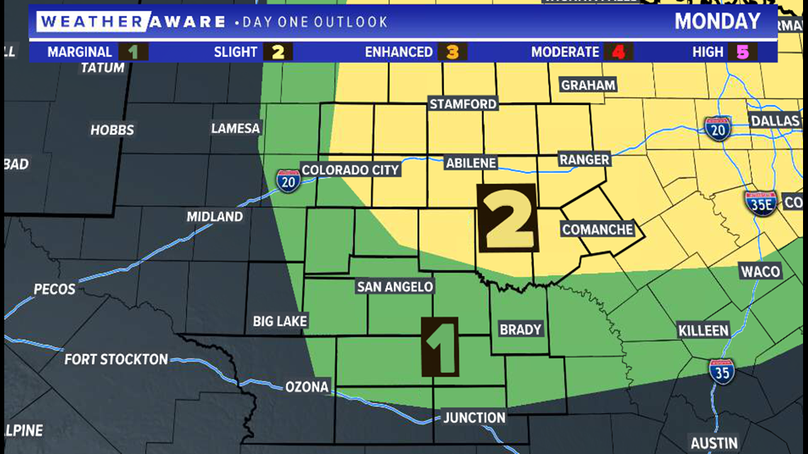
SAN ANGELO, Texas — A slight risk of severe weather (a level two of five) has been issued by the Storm Prediction Center (SPC) for portions of West Texas, including the Big Country and northern Concho Valley, Monday afternoon and evening.
SPC Day 1 (Monday) Outlook:

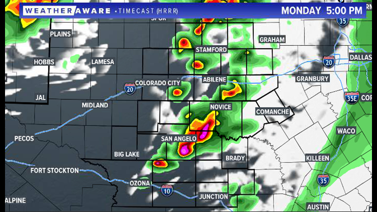
Storms will develop during the mid-afternoon hours in the Permian Basin and quickly move eastward, bringing severe weather chances during the Monday evening commute.
5 p.m. Monday projected radar:

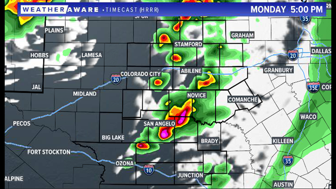
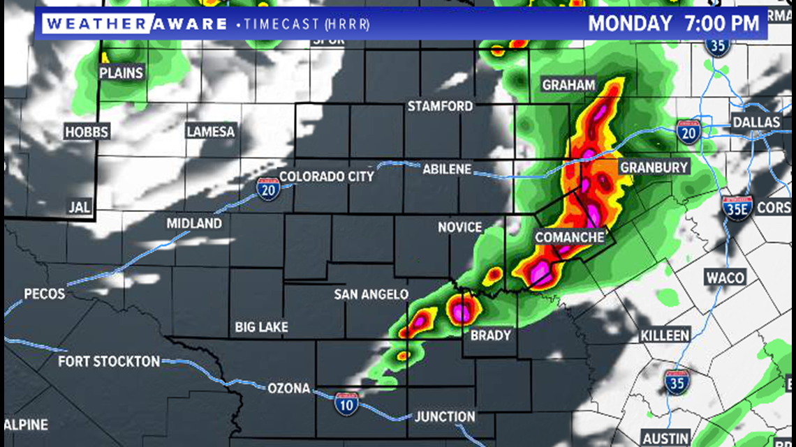
The greatest threat will be large hail and damaging winds with the strongest of storms. Storms will form into a solid line as it pushes into our eastern communities later in the evening. Most of the storms will stay northward of I-10 throughout the day.
7 p.m. Monday projected radar:

Stay with FOX West Texas for the very latest information as storms develop.

