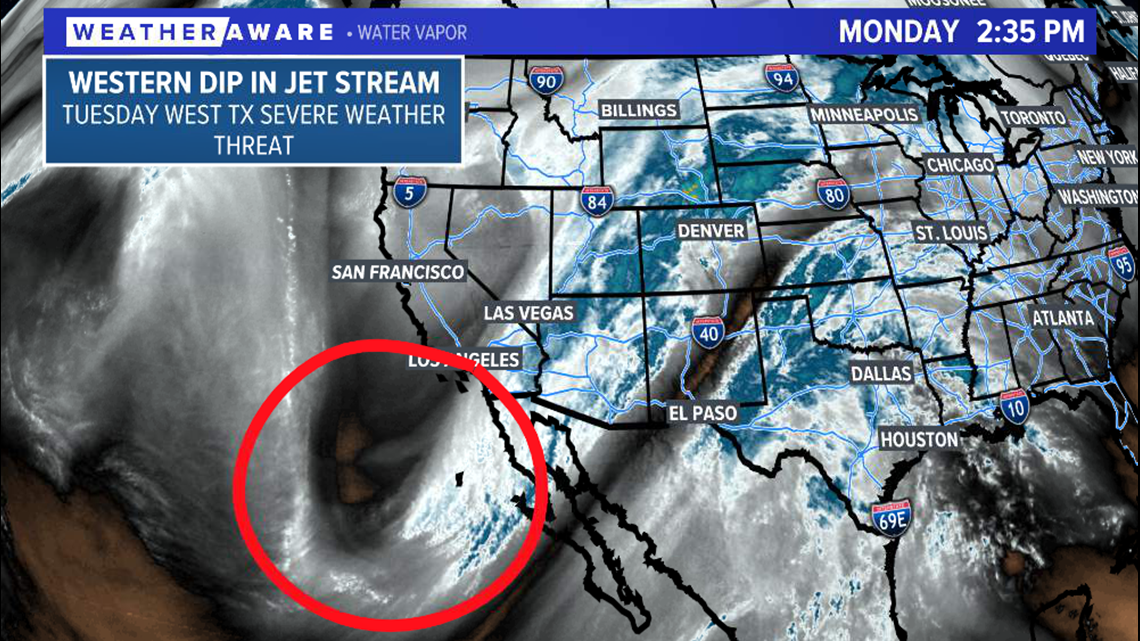
SAN ANGELO, Texas — A dip in the jet stream is evident on water vapor imagery Monday off the coast of Baja California. This is the piece of energy that will move eastward Monday evening and give West Texas a threat of severe weather Tuesday.
Monday afternoon water vapor imagery:

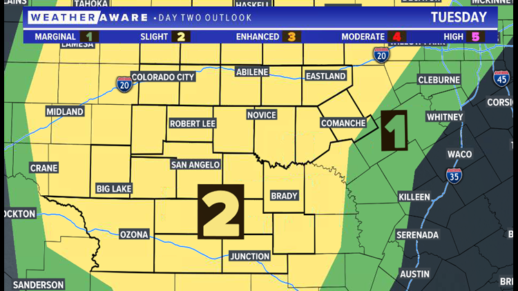
A slight risk of severe weather (level two of five) has been issued for a majority of West Texas Tuesday ahead of this system.


Moisture will increase across the region overnight Monday into Tuesday thanks to southeast winds that will bring in a humid air mass from the Gulf of Mexico. A few showers and isolated thunderstorms are possible Tuesday morning into the early afternoon.
1 p.m. Tuesday projected radar:

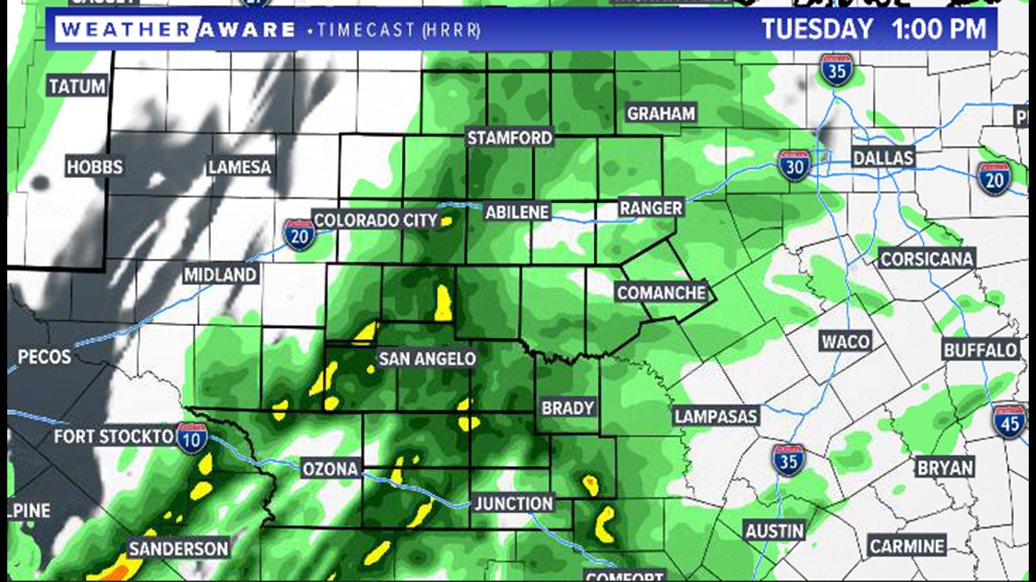
This is round one of activity and not the main concern for the day. Additional storms will develop Tuesday evening, bringing the greatest risk of severe weather.

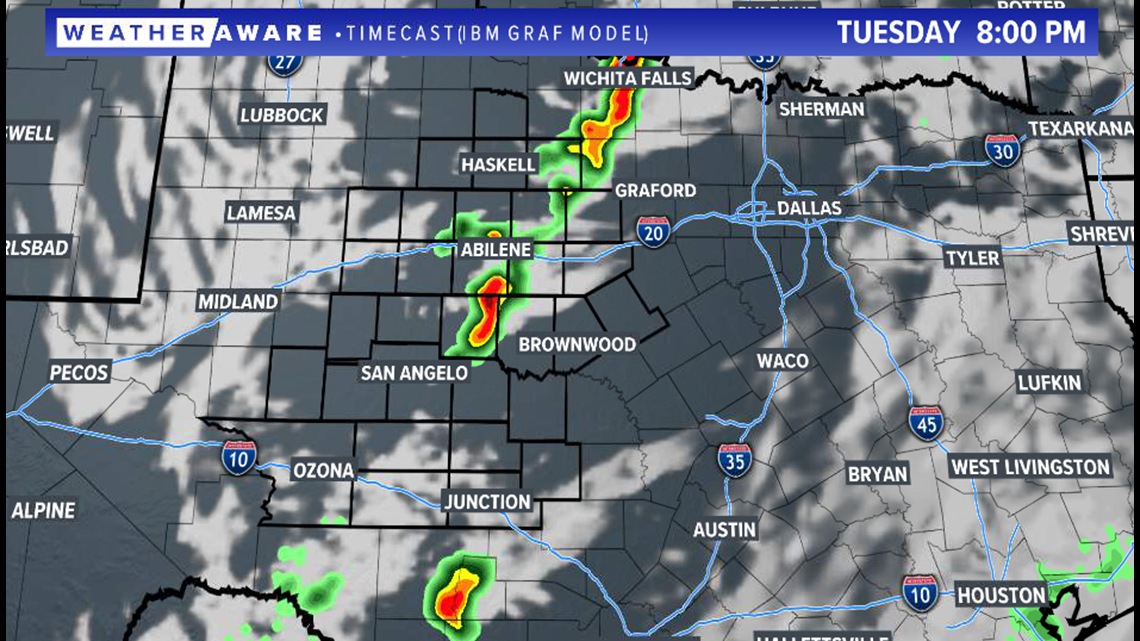
This activity is likely to be scattered in nature, with discrete supercells possible. The greatest threat will be large hail and damaging wind gusts. However, a few storms will be capable of an isolated tornado or two.
Stay with FOX West Texas for the very latest information.

