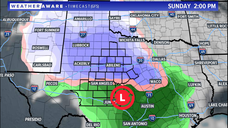
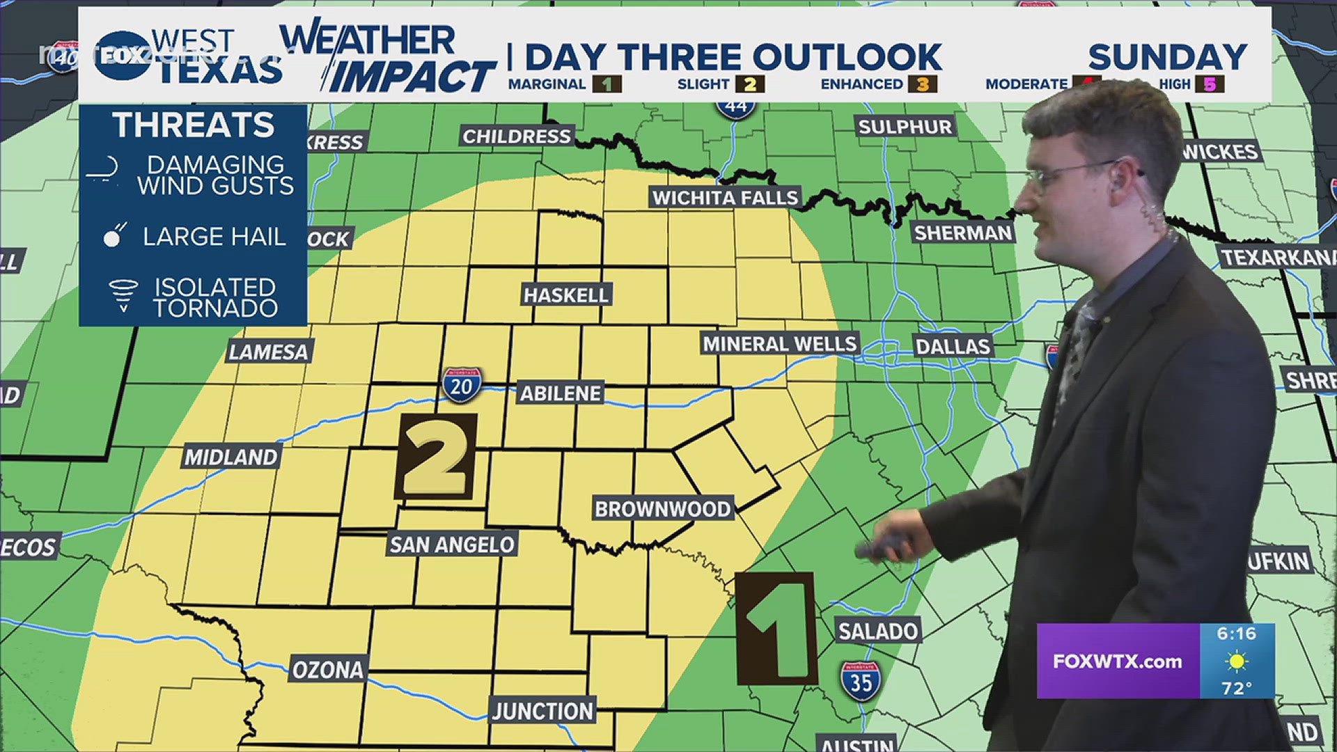
SAN ANGELO, Texas — Another winter storm system is on the way for West Texas this upcoming weekend. The exact track of the system remains in question, but models are beginning to agree that parts of West Texas will see some snow accumulations. Saturday night into early Sunday, rain is expected to move into the area, moving from northwest to southeast.

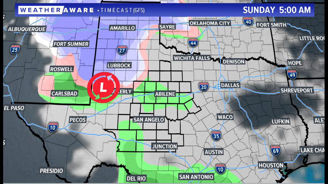
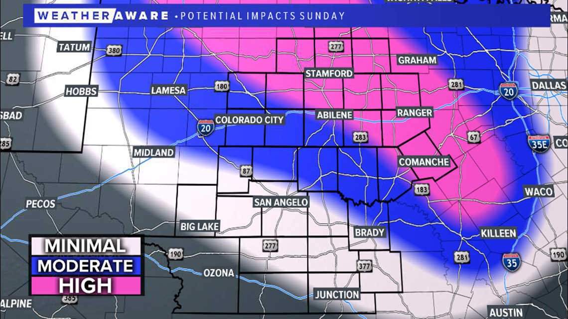
By the afternoon hours Sunday, rain will transition to an icy mix, and then to all snow across our northern communities. Exactly how far south the low-pressure goes and how quickly the cold air filters south determines who sees the most snow. Locations along I-10 are expected to remain mainly rain.

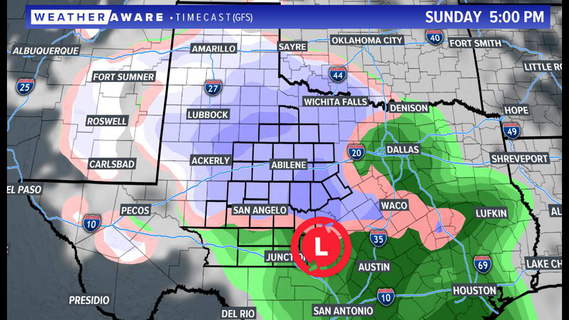
As of Thursday evening, the greatest potential impacts Sunday seem to be in our northeastern areas and in the Big Country. This is where snow totals in excess of four inches will be possible.

Be sure to stay with FOX West Texas for the latest information.


